
The National Weather Service in Peachtree City added Bartow, Cherokee and Paulding counties to the Winter Weather Advisory this morning, which spans west to the Alabama state line as well as north to the Tennessee state line.
The Winter Weather Advisory is in effect through 1am Thursday.
The National Weather Service issues a Winter Weather Advisory when hazardous wintry precipitation is anticipated within a given time frame, though the amount of wintry precipitation is below Winter Storm Warning criteria.
Through the morning commute, temperatures are expected to drop just enough in Paulding, Bartow, and Cherokee counties to allow some rain showers to transition over to snow showers.
Snow accumulations up to 0.25 inch are possible through this afternoon in the Advisory areas, which extends up into Pickens County through Gilmer and Dawson counties. Larger accumulations are possible in the higher elevations of the North Georgia Mountains.
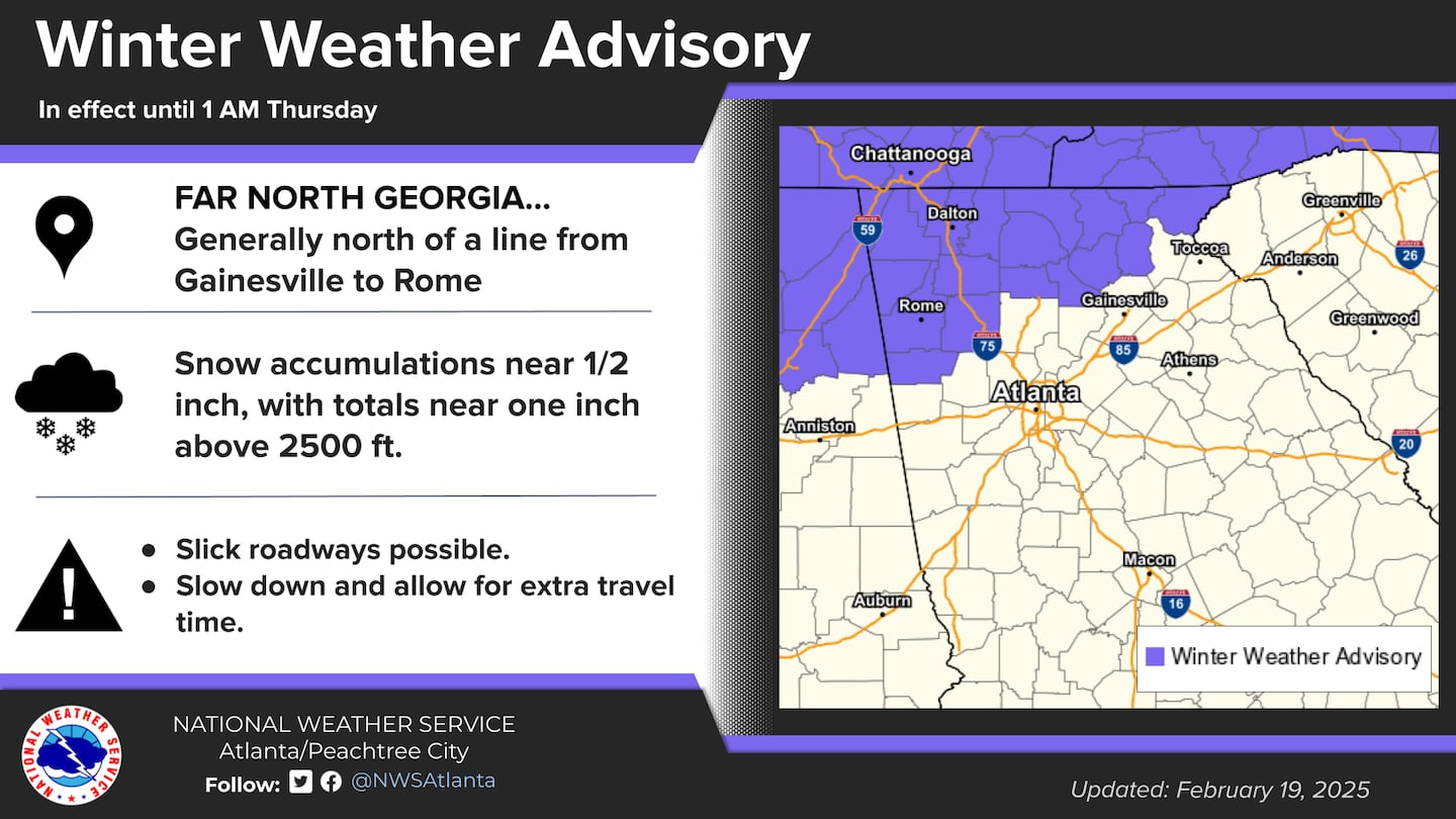
Further south, temperatures will be in the low to mid 40s as the precipitation moves through the I-20 corridor. For the rest of Metro Atlanta, not enough cold air will be in place to allow the rain showers to transition to snow showers.
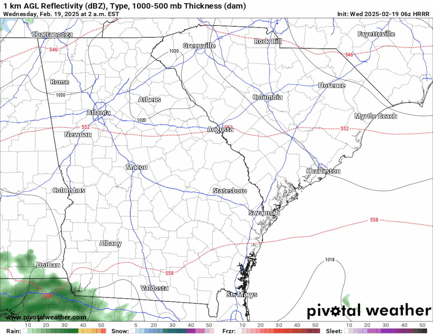
The animation below illustrates the Futurecast Hour-By-Hour radar for today.
Share Your Temperature Reports With Me!
Facebook: Christina Edwards WSB
Instagram: ChristinaWSBwx
Twitter: @ChristinaWSBwx
TikTok: @ChristinaEdwards955WSB
©2025 Cox Media Group


 Sign Up

