This morning featured a gorgeous sunrise, followed by crystal blue skies.
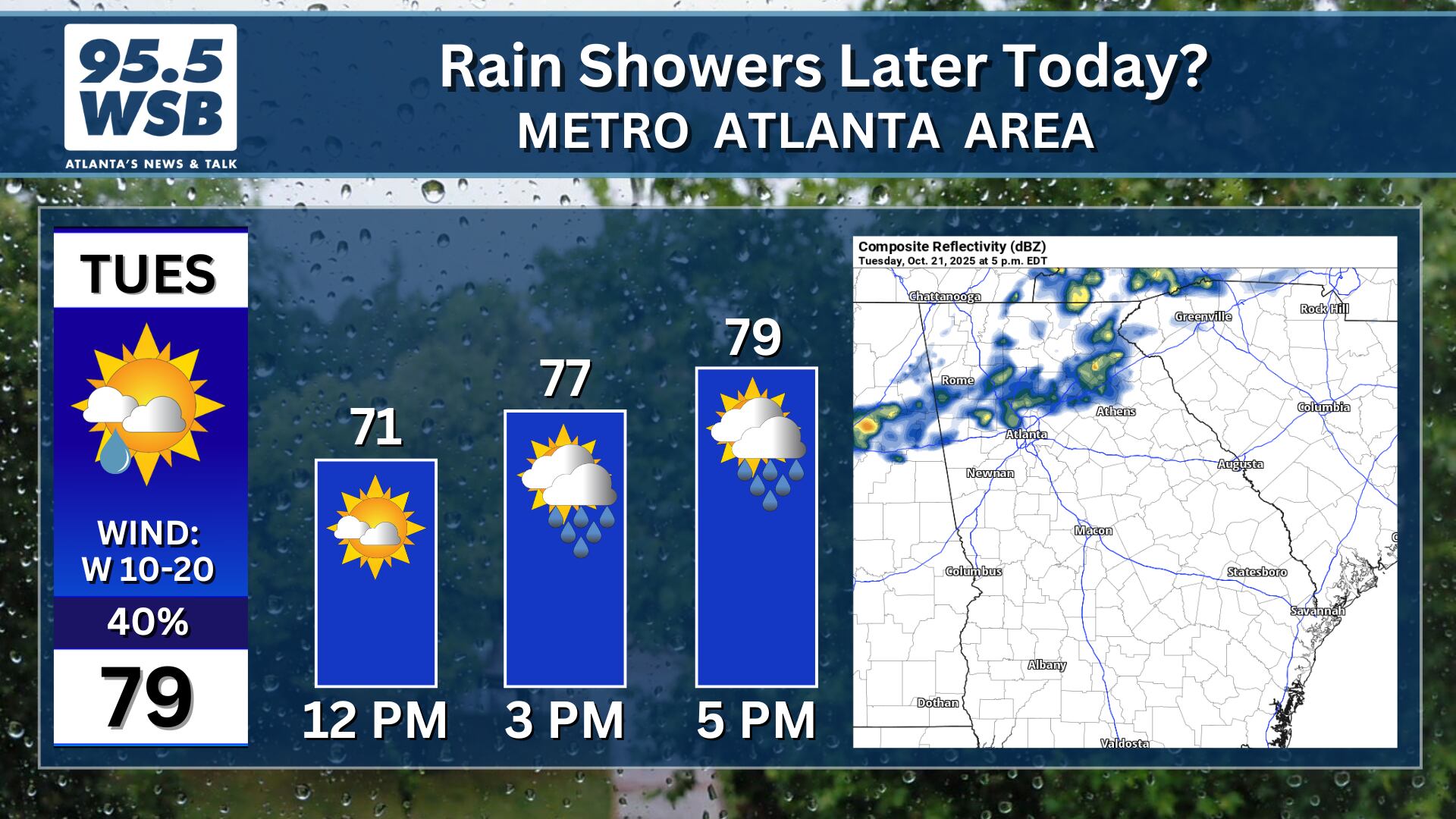
However, the afternoon weather will look a bit different!
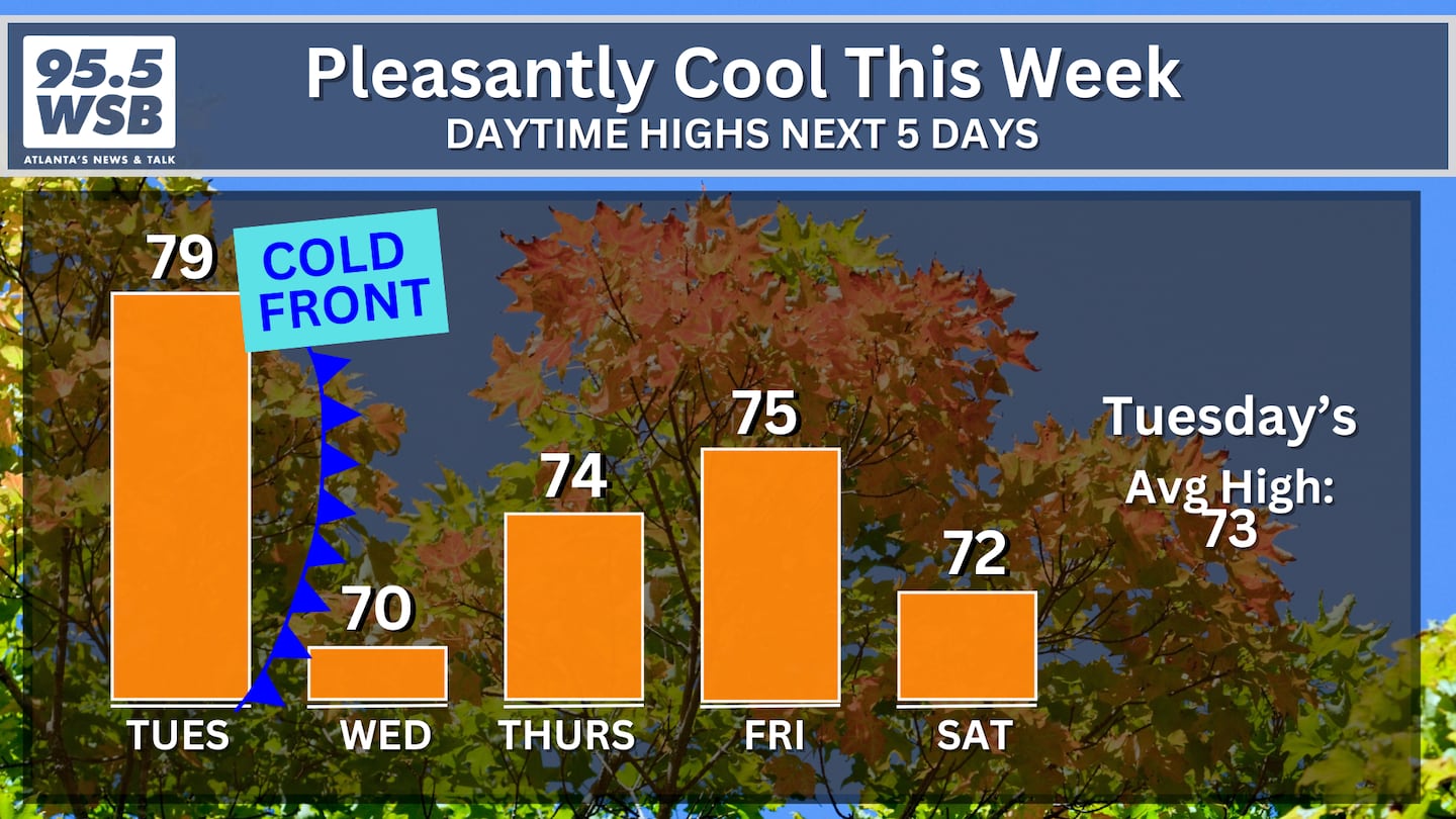
A cold front is sweeping through the Southeast, ushering in rain showers throughout Mississippi and Alabama.
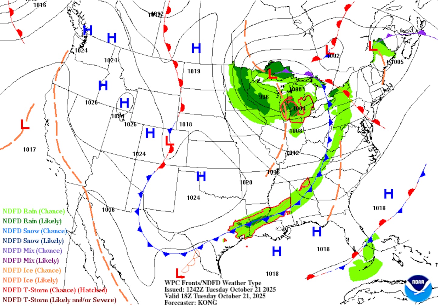
Some of these rain showers will make their way into North Georgia this afternoon, potentially bringing wet conditions to the evening commute home.
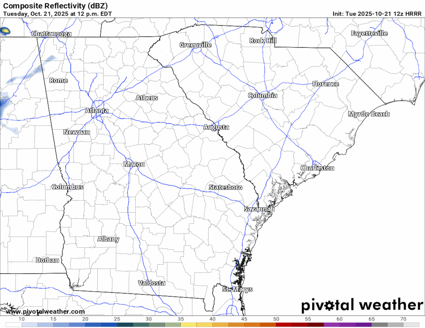
The animation below illustrates the Futurecast Radar imagery for this afternoon and evening.
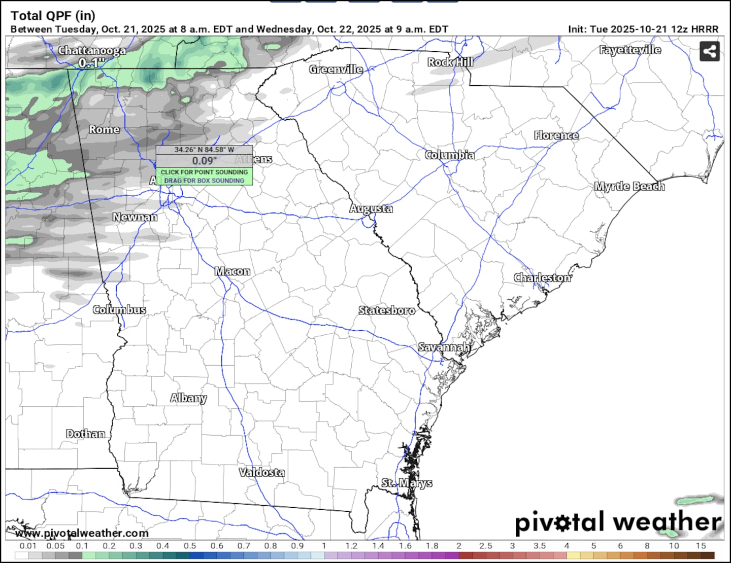
Rainfall will still be limited with these rain showers, with only about a tenth of an inch of rain expected as they move through.
The next chance for measurable rainfall will occur late Sunday through Monday.
Conditions will dry out and become breezy later tonight into early tomorrow, but the greatest impacts from the cold front will be a drop in afternoon temperatures. Instead of daytime highs in the upper 70s to low 80s today, expect Wednesday afternoon’s highs to be limited to the upper 60s to low 70s!
Share Your Rainfall Reports With Me!
Facebook: Christina Edwards WSB
Instagram: ChristinaWSBwx
Twitter: @ChristinaWSBwx
TikTok: @ChristinaEdwards955WSB
©2025 Cox Media Group


 Sign Up

